
بلد - مسیریاب، نقشه - Balad
Balad maps
Downloads
10,000,000+
Version
Latest
Click to download now, finish the installation quickly, and directly unlock the all-round experience
Screenshots

Click to download now, finish the installation quickly, and directly unlock the all-round experience
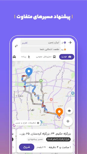
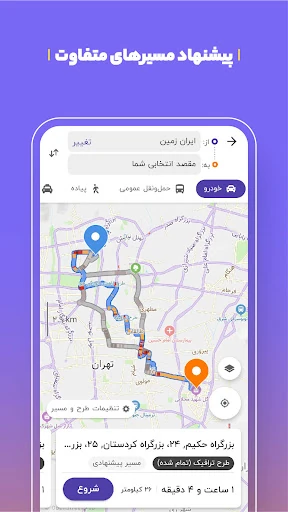
Balad is a maps and navigation app built around the roads, addresses and transport systems of Iran. It provides turn-by-turn driving directions, traffic-aware route planning and a broad directory of local places. That focus makes it a practical fit for daily drivers, couriers, taxi users and anyone who needs more detail than a generic world map may provide.
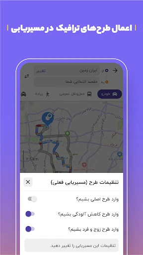
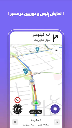
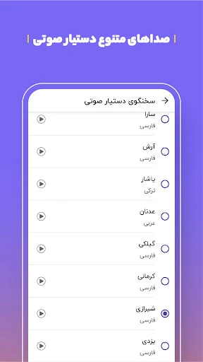
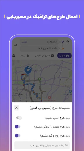
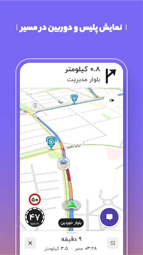
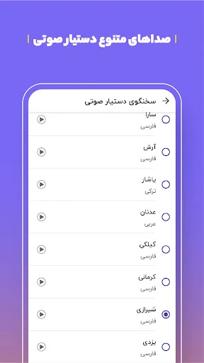
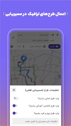
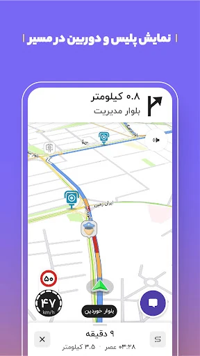
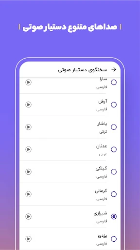
The app accounts for local driving conditions, including traffic congestion and restricted zones such as air-pollution plans and even-or-odd plate rules. Voice guidance can read street and alley names aloud, helping drivers follow a route without repeatedly checking the screen. Balad also highlights reported hazards and road events, including accidents, speed cameras, police activity and traffic jams.
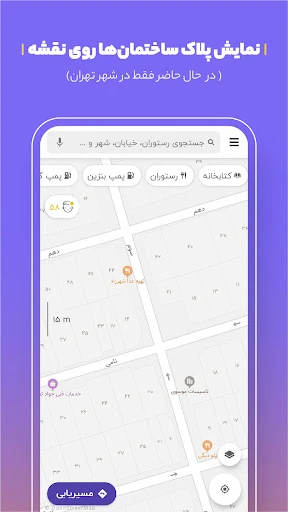
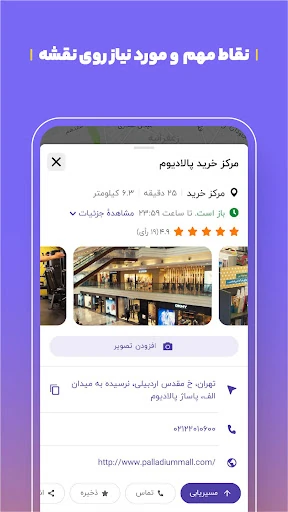
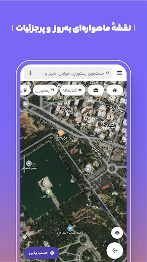
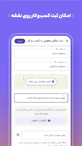
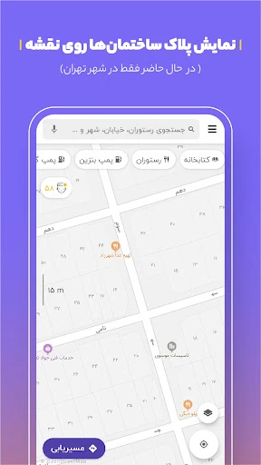
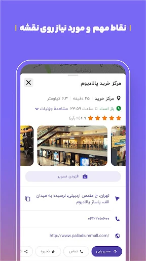
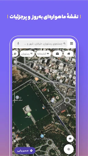
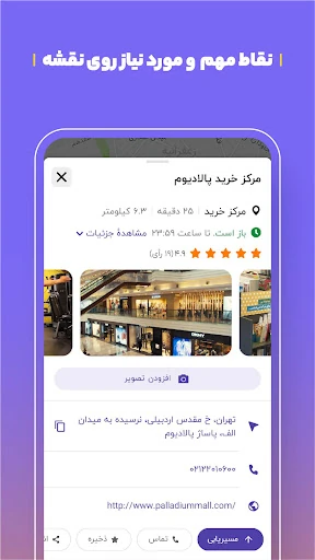
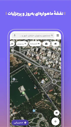
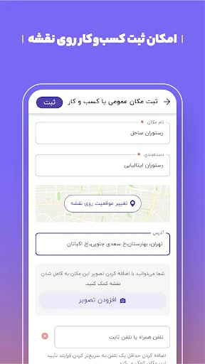
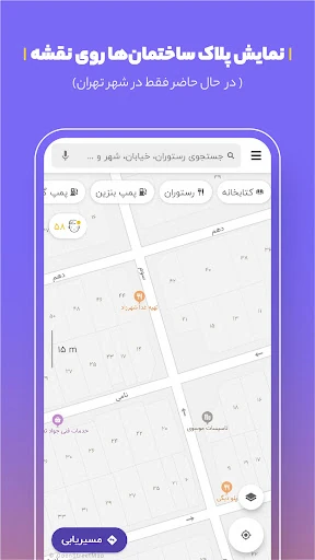
Balad’s map includes a large collection of points of interest and detailed address information, down to building plate numbers in supported locations. That last-mile precision is particularly useful when a destination is difficult to identify from a street name alone. For journeys without a car, the app brings together metro, bus and taxi information, with live arrival and departure details where available.
Balad maps is the developer behind the app. With a 4.4/5 rating from more than 61,000 reviews and 10 million-plus installs, it has found a substantial audience. Choose it when the priority is locally relevant navigation and address data, rather than a map designed mainly for international coverage.